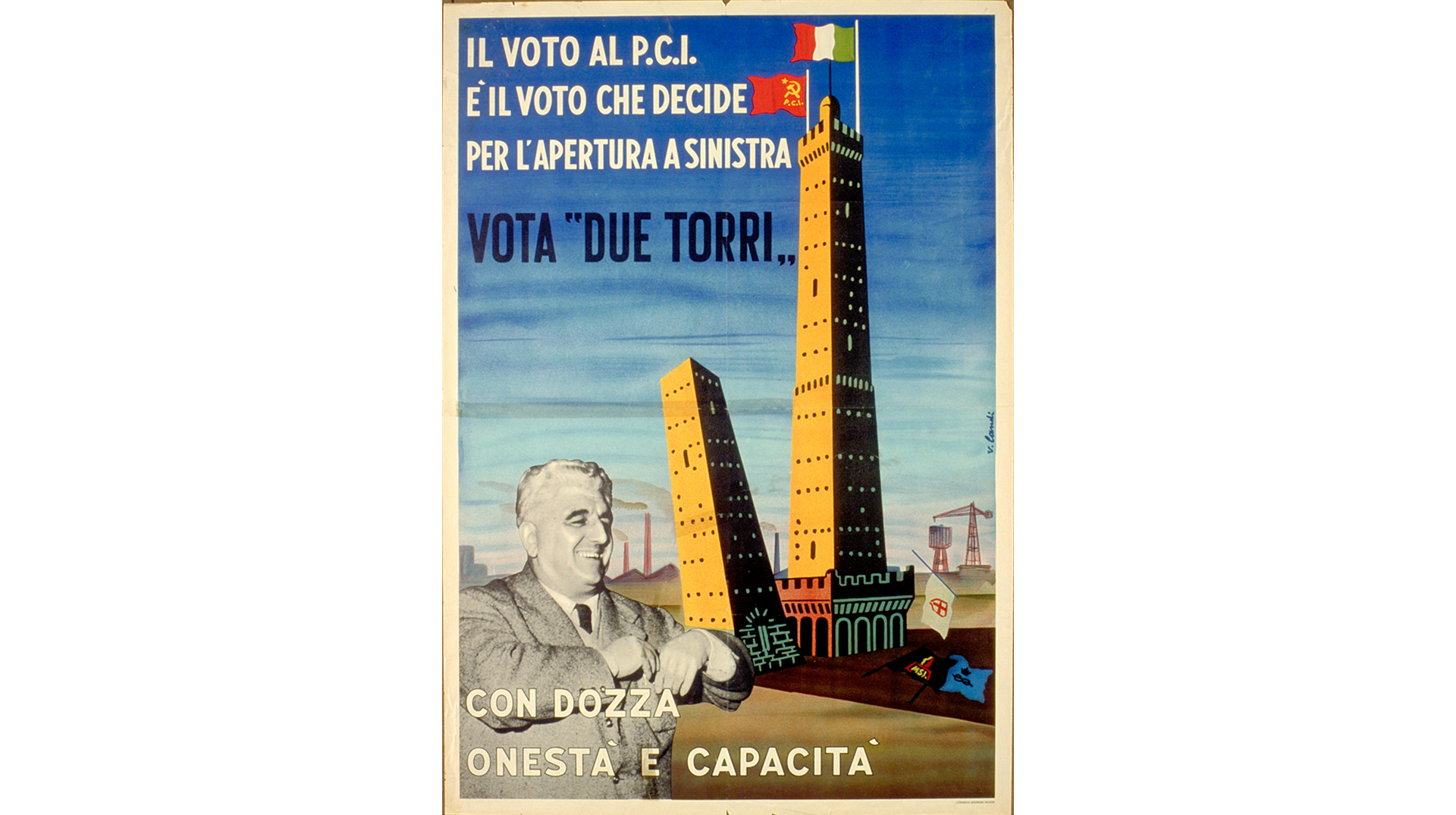
Bologna came out of the Second World War seriously damaged. By the end of April 1945, the historical centre and the infrastructure network had experienced damage that reflected in unemployment and the general economic situation. Post-war reconstruction was carried forward for nearly 20 years by Mayor Giuseppe Dozza — head of the city administration led by the Communists — which would signal a great leap in the self-representation of the city. These were the years of the "fever to create".
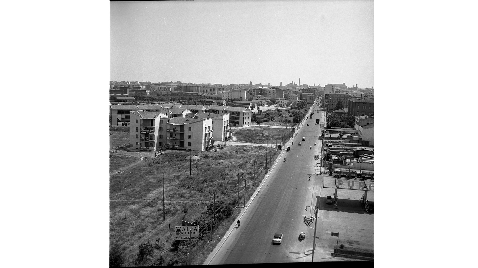
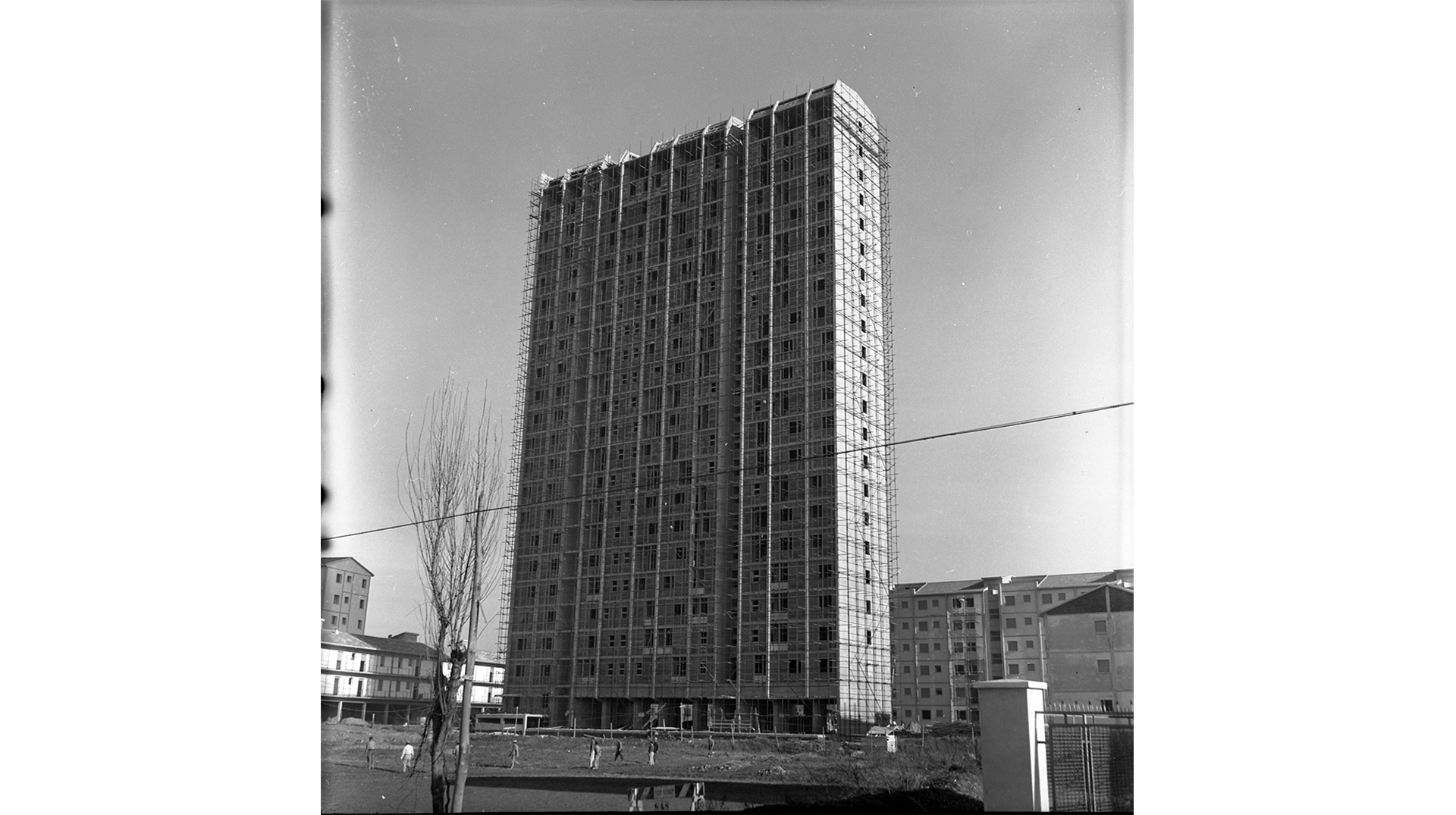
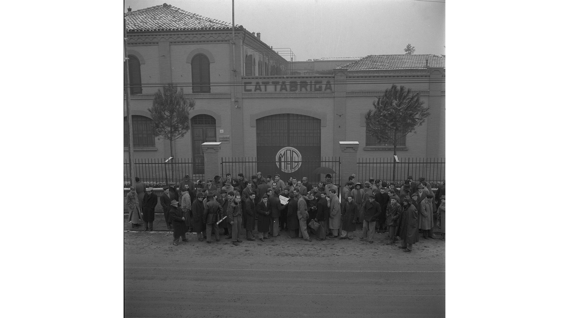
The reconstruction plan was aimed at the present, marked by urgency, and limited in time. On the one hand, building was regulated to provide housing to those who were left without homes after the bombings. On the other hand, work was carried out to restore and implement the network of citizen services (emblematic of this was the decision to rebuild Ospedale Maggiore in the Prati di Caprara zone). The medium-large companies that had resisted and drawn advantages from war-time production served as the underlying base to construct a dense network of vital small companies.
A fragmented production fabric developed, conditioned by the persistence of the city’s image as a "large agrarian province", which it took pains to overcome at least through the economic boom in the 1960s.
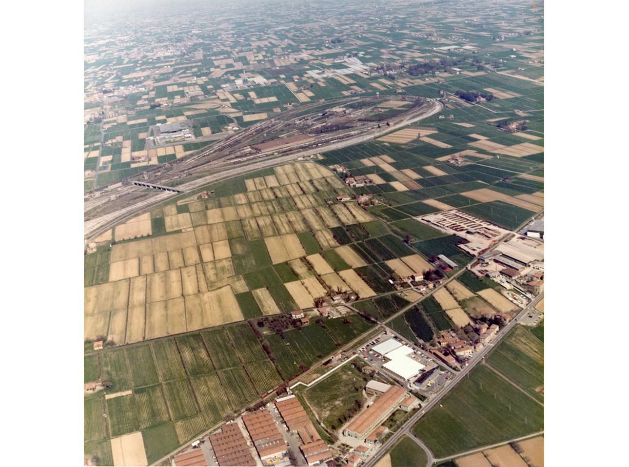
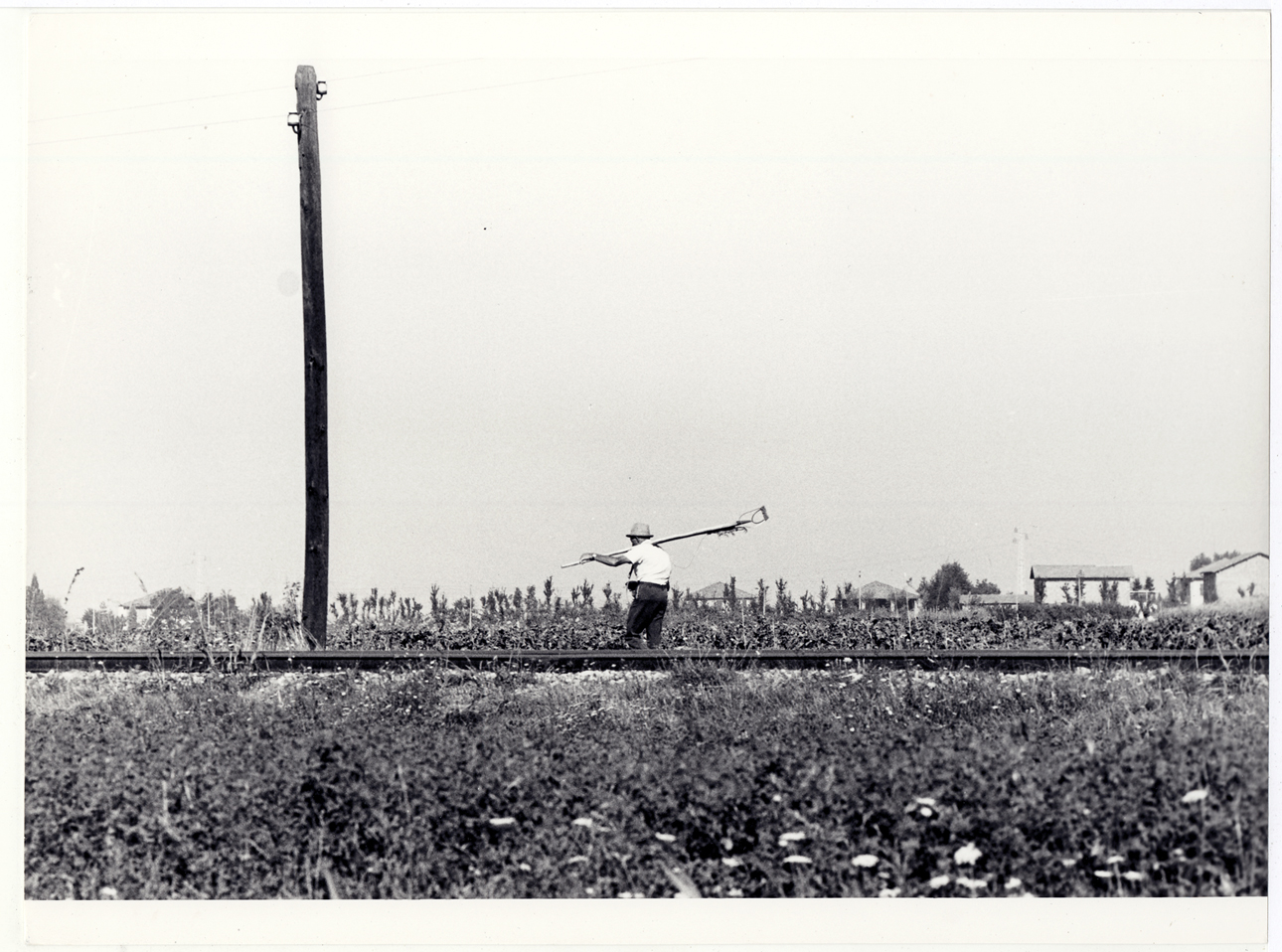
This economic transformation would leave a deep mark on the urban layout of the city. The yards within the walls would be repopulated with mechanical shops and a developing industrial initiative would find its own urban calling in the zones between the city and country. The city administration organized infrastructure projects and functionally redesigned the city. Bologna was equipped with large roads, new industrial areas, and a large logistics centre outside the historical centre that would become the Fiera District.
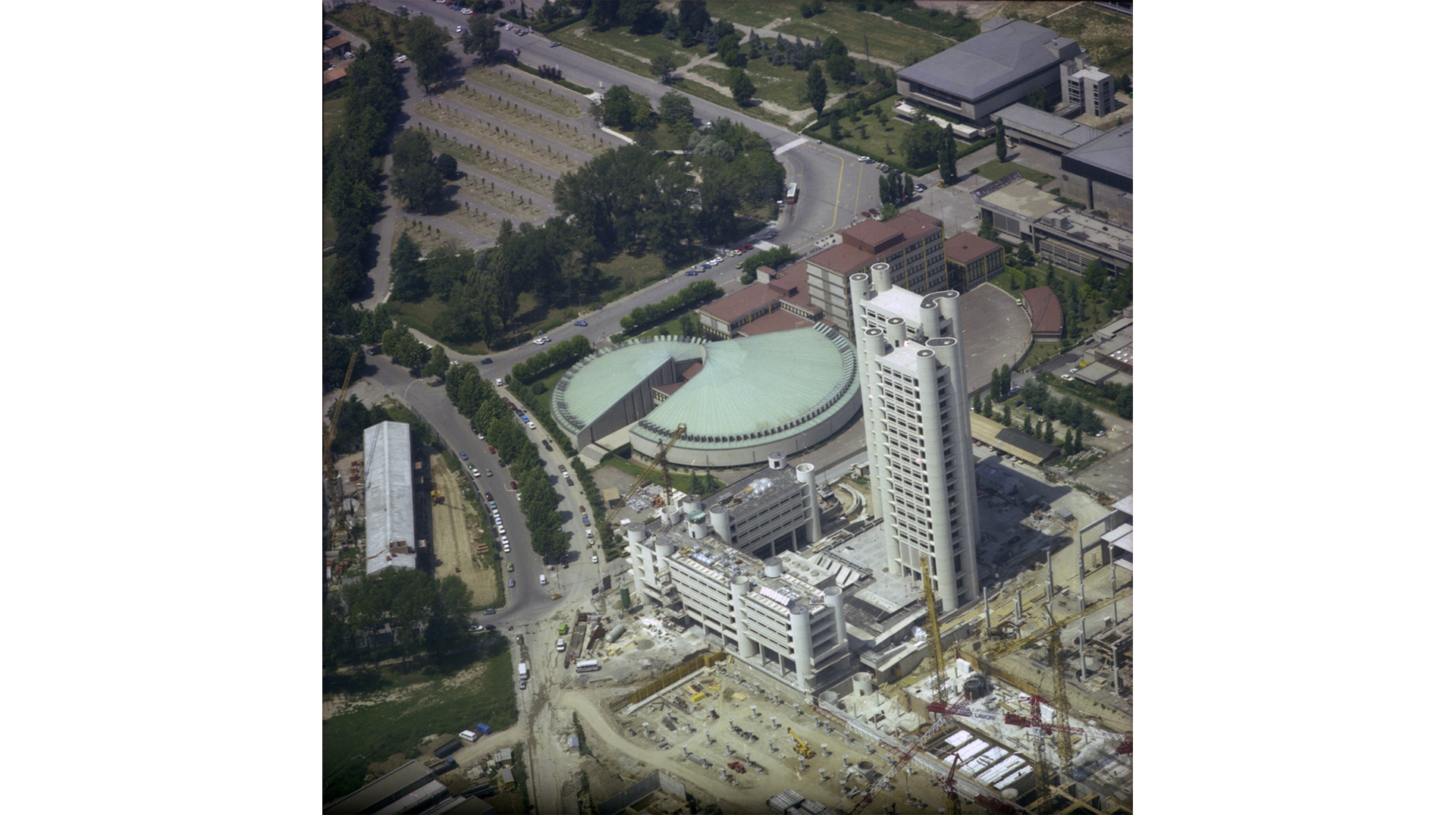
At the same time, residential building projects led to a certain fragmentation of the urban fabric and favoured the development of the peripheries, which were increasingly closed in, sometimes becoming truly excluded areas.
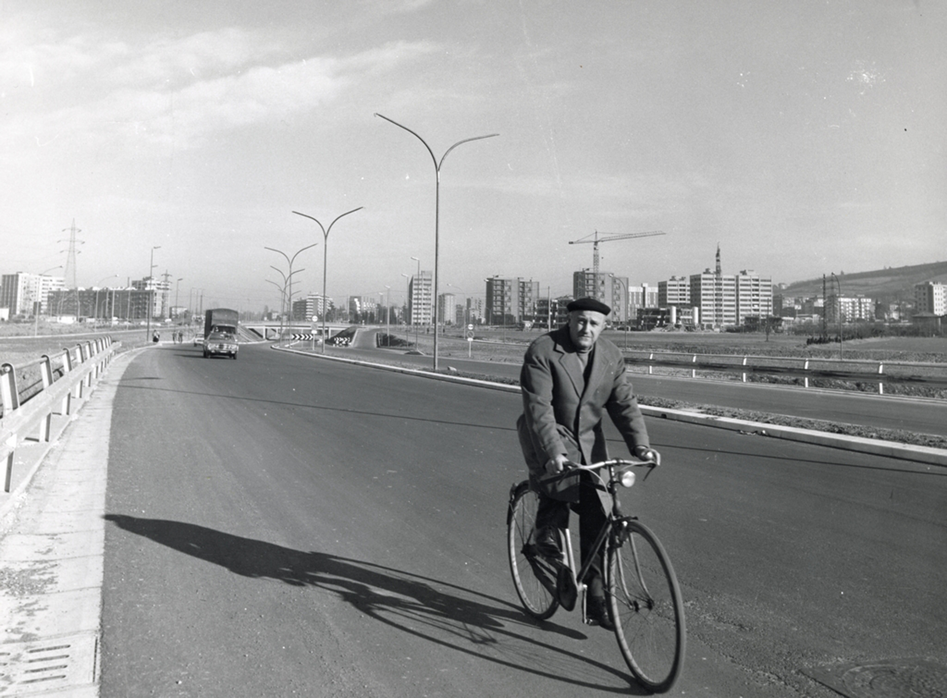
Despite the innovative effort at the time, cultural borders arose followed by a displacement of the city’s physical border, which moved from the old walls to the new four-lane ring road.
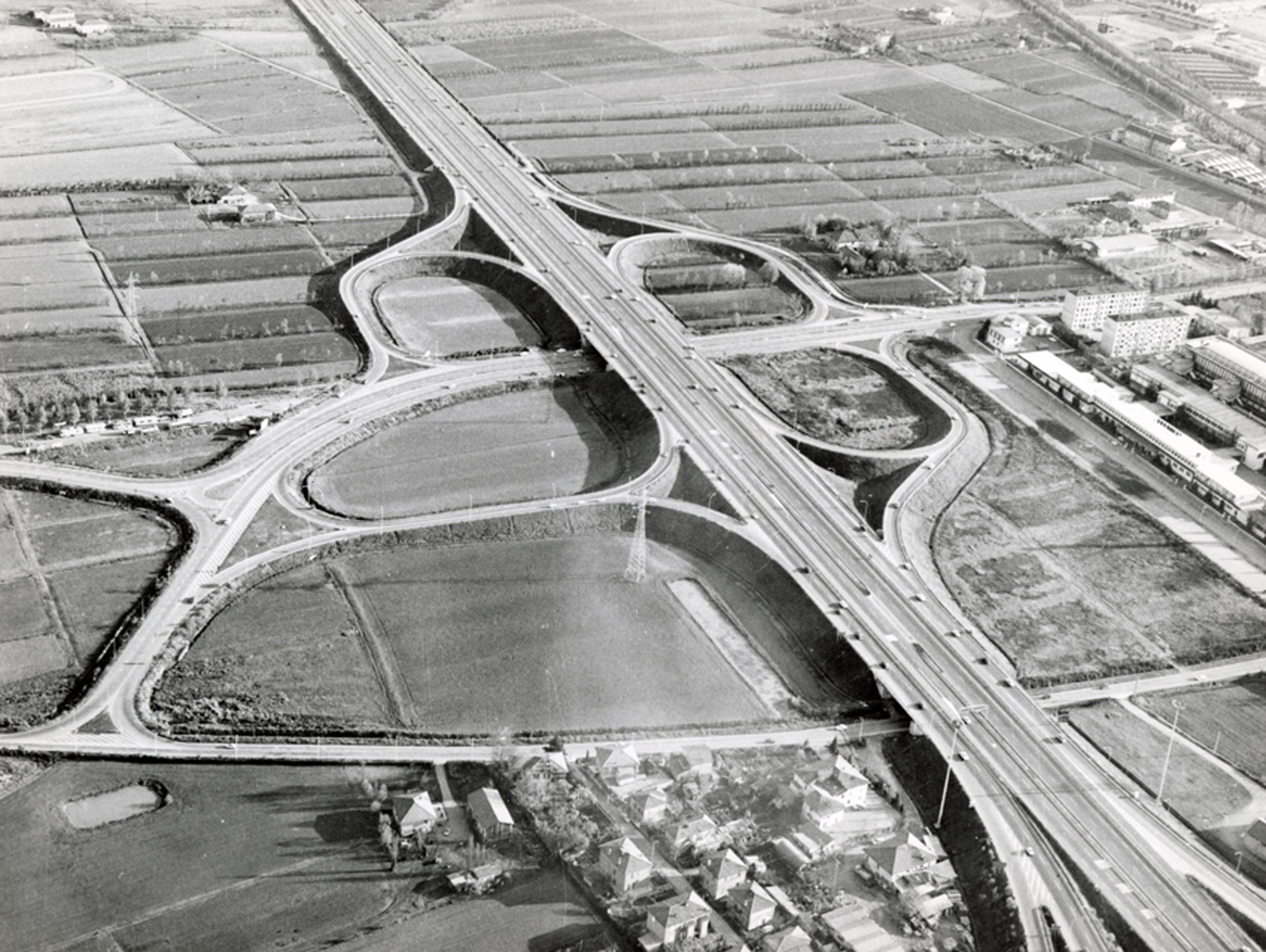
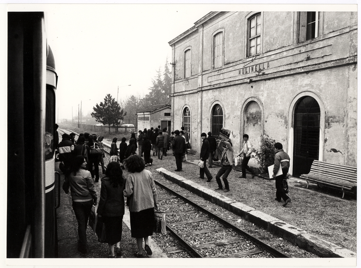
The city was therefore projected on a metropolitan dimension, whose management led to expansion beyond the city’s administrative borders. Supra-municipal planning moved development outside, and a large part of industrial ventures began to move to the surrounding municipalities, which were declared to be economically depressed. The hinterland therefore became an integral part of the city, increasing and favouring the continuous exchange of people, merchandise, ideas, and customs.